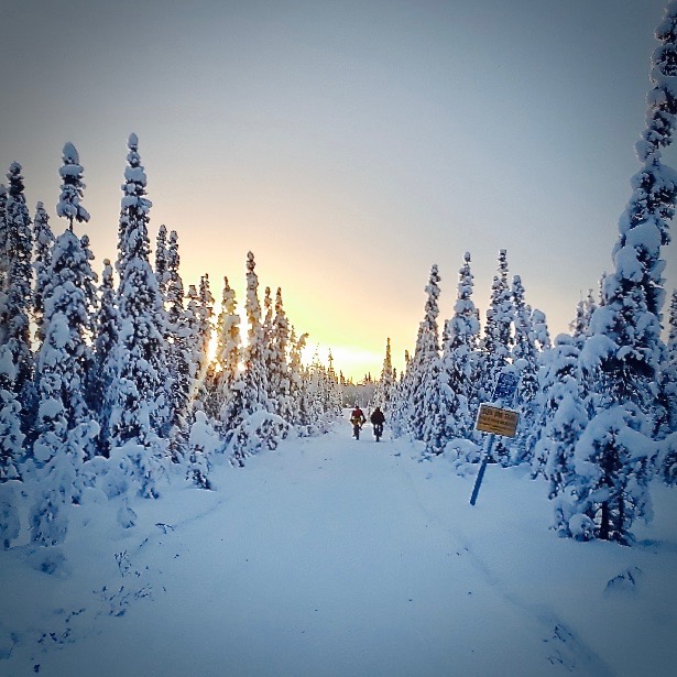
Rent a Bicycle and Explore Fairbanks
Let CanoeAlaska bike rentals equip you to explore Alaska on two wheels. The relatively flat terrain of the Chena and Tanana valleys is well suited for riders with little or no experience. Paved bike paths offer easy riding around town. The surrounding hills have residential areas, dirt roads, and trails that provide more challenging rides. The wild country beyond Fairbanks abounds with old mining roads and trails waiting to be explored.
Choose from a variety of bicycles from Kona and Raleigh. Our bike rental shop near Pioneer Park in Fairbanks offers mountain bikes, cyclocross bikes, touring bikes, and hybrid models.
You can also combine a bike ride with a float trip on the Chena River. Paddle an inflatable kayak down the Chena from the Barnette Street bridge to Pioneer Park. Pedal a bike from our shop near the Peger Road Bridge back to your downtown starting point.
Bike Rental Rates
Fairbanks Bicycle Rental Rates - Please see gallery of bikes below for examples of Standard, Premium, Road and Cross Bike models(When viewing the table on a mobile phone, please click the green + icon to view all rental rates.)
| Bike Rental Rates | Half Day (up to 4hrs) | Full Day (8hrs) | 24 hour | Weekend | Week |
|---|---|---|---|---|---|
| Standard Bikes | $20 | $25 | $35 | $65 | $100 |
| Road and Cross Bikes | $25 | $35 | $50 | $105 | $150 |
| Fat Bike | $30 | $45 | $60 | $150 | $250 |
| Pioneer Park Fat Bike Rides | $10 per Half hour |

Raleigh – Venture
Standard Bike

Raleigh – Misceo
Standard Bike
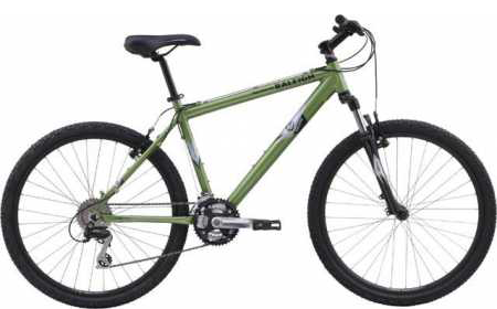
Raleigh – Mojave
Standard Bike

Kona Wo
Fat Bike

Kona – Jake the Snake
Cross Bike
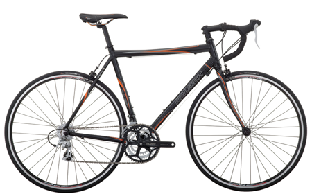
Raleigh – Sport
Road Bike

Kona – Zing
Road Bike